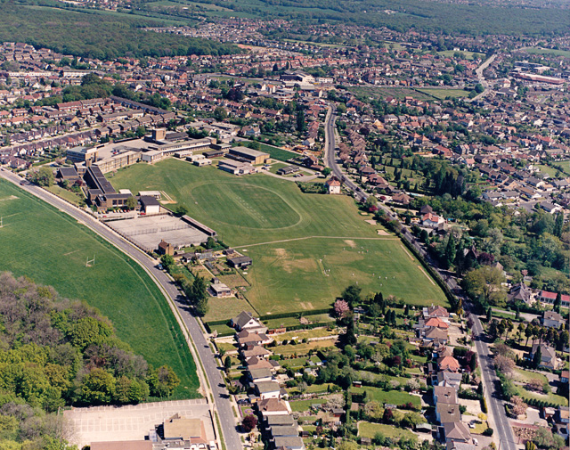
If you've ever looked out of an airplane window on a clear day, you know the amazing sight of seeing the
world spread out beneath you like a detailed painting. Aerial mapping uses that special vantage to make
precise and accurate maps and charts of land, useful for anything from surveying a parcel of property to
sell or build on, to city planning, to environmental diagraming of forests and other wilderness areas.
Using various technologies, a number of different types of maps can be made from the air. Photographing with digital cameras can capture every element of the land below. If you've ever used "satellite view" on an online map program, aerial mapping is even more detailed (and indeed, some of the most zoomed-in satellite views are actually pictures taken from airplanes instead.) Analysis of these maps, combined with lidar technology which uses a laser to calculate the height of land below, can be used to make topographic maps showing land elevation to within a foot or less.
With the help of computer software, aerial photography can produce even more maps. Digital terrain
models are 3D computer images that show a rendering of an area of land without any features, just the
bare ground, which is useful for studying drainage and flooding, and other land-use issues. Planimetric
maps, on the other hand, show every feature of a landscape, both natural and man-made, anything
from fences and sidewalks, to trees and telephone poles. Earth Graphics can also do oblique photographs, taken pictures of the land from an angle rather than directly above, which gives a better sense of depth and the spatial relations of features.
Whatever kind of map you need or whatever you're using it for, aerial mapping offers an ideal solution,
allowing you to get a bird's eye view on anything from a wide-angle vision of a city, to the precise
dimensions of a single parcel of land. For more information on aerial mapping, please visit www.eijournal.com.
 RSS Feed
