Before jumping into bathymetric surveys, it's essential to know what surveying is. Surveying is a technique or profession that measures or defines the position of points and the angles and distances between them. There are many types of surveying; most surveying companies offer a complete range of these. For example, cadastral surveying, dimensional control surveying, construction surveying, and hydrographic surveying are a few of the different types of surveying available.
Hydrographic Survey
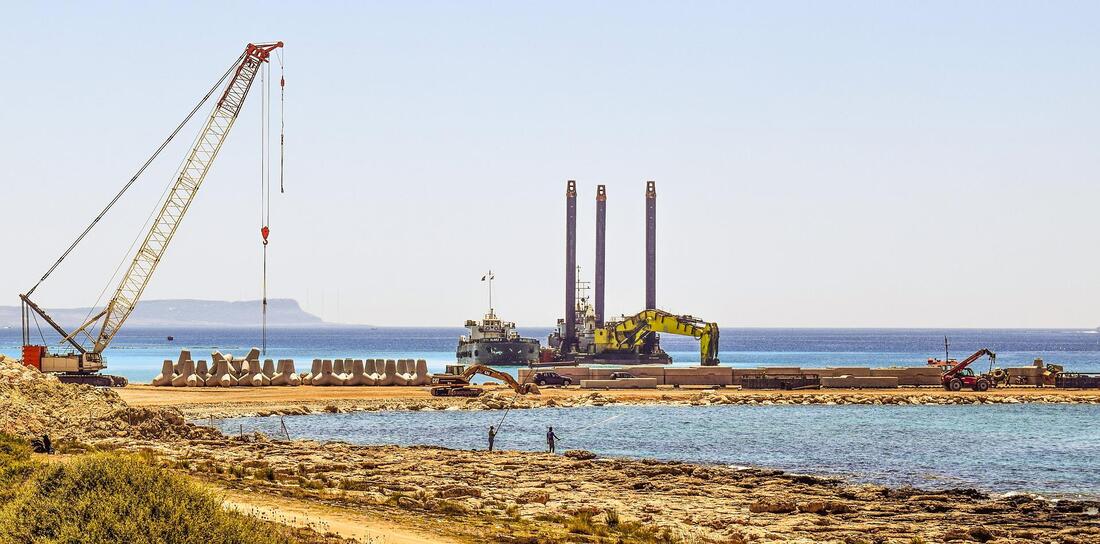
Hydrographic surveying is the science of surveying an area underwater. It is an important type of surveying that aids engineers in understanding the elevations of the ocean floor and the characteristics of specific regions. It is a general genre that includes subtypes, such as the bathymetric survey.
Bathymetric Survey
Now that you understand surveying and hydrographic surveying, it will be easier to understand what bathymetric surveying is and its purpose.
The word bathymetric comes from the Greek words bathus, which means deep, and metron, which means measurement. The bathymetric survey is intended to obtain exact images of seafloors, lake floors, river bottoms, and quarries. In addition, it is used to map underwater features and understand topography typically not visible because it is below the water's surface.
Uses for Bathymetric Surveying
The information provided by bathymetric surveying has several uses, including:
Methods
There are many techniques, methods, and equipment that bathymetric surveyors use. Some of these methods include single beam surveying, acoustic doppler current profiling, and sub-bottom profiling. The most common method used varies greatly from project to project and between surveying companies. Chris Nelson & Associates, for example, will have their preferred method for each job and can help you to understand which one is better for your particular project.
Hydrographic Survey
Hydrographic surveying is the science of surveying an area underwater. It is an important type of surveying that aids engineers in understanding the elevations of the ocean floor and the characteristics of specific regions. It is a general genre that includes subtypes, such as the bathymetric survey.
Bathymetric Survey
Now that you understand surveying and hydrographic surveying, it will be easier to understand what bathymetric surveying is and its purpose.
The word bathymetric comes from the Greek words bathus, which means deep, and metron, which means measurement. The bathymetric survey is intended to obtain exact images of seafloors, lake floors, river bottoms, and quarries. In addition, it is used to map underwater features and understand topography typically not visible because it is below the water's surface.
Uses for Bathymetric Surveying
The information provided by bathymetric surveying has several uses, including:
- Research on flooding
- Determining the appropriate location for oil and gas structures
- Dredging rivers
- Habitat mapping
- Bridge construction, etc.
Methods
There are many techniques, methods, and equipment that bathymetric surveyors use. Some of these methods include single beam surveying, acoustic doppler current profiling, and sub-bottom profiling. The most common method used varies greatly from project to project and between surveying companies. Chris Nelson & Associates, for example, will have their preferred method for each job and can help you to understand which one is better for your particular project.
 RSS Feed
